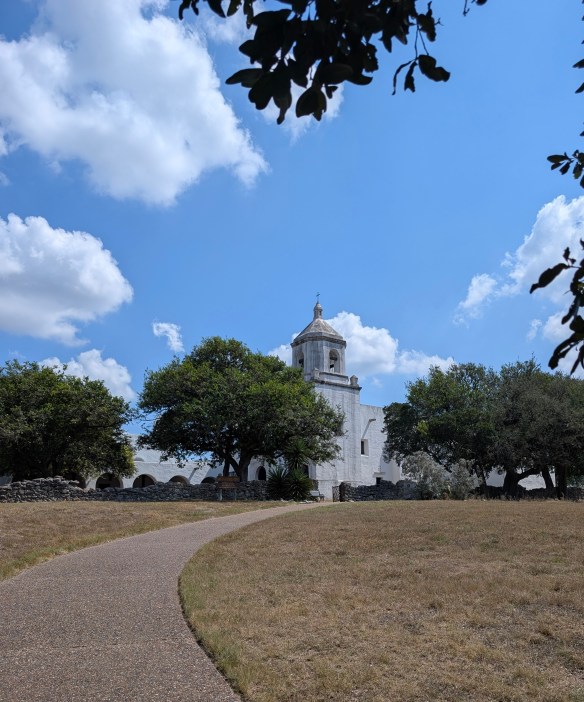
The trails in Acadia National Park tell a story carved by ancient glaciers and by the hands and hearts of the people who have called this place home. Long before it became a hiker’s paradise, Mount Desert Island was the ancestral homeland of the Wabanaki people, who paddled the rocky shores and named the mountains and waters that still define Acadia’s wild beauty. Later came the “rusticators” — artists, writers, and dreamers of the 19th century — who found inspiration in its rugged cliffs and helped spark a movement to protect it.
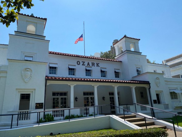
Before it became known as Acadia, this park had many names…Pemetic, Sieur de Monts, and Lafayette. The area in, and around, Arcadia, began colonization in the late 1700’s. By the early 1800’s, farming, foresting, fishing, and shipbuilding became the major occupations. Hundreds of acres of trees were deforested to make wood products. Farmers began growing crops like wheat, rye, corn, and potatoes. By the mid-1800’s, fishermen and sailors focused on creating a life on the sea. And word got around about the natural beauty of the area, so tourism also became a part of early life in Acadia.
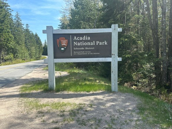
Charles W. Eliot, George B. Dorr, and John D. Rockefeller presented 5,000 acres to the American people in the form of a national monument, which was signed into effect by President Woodrow Wilson. At the time, the park was under the name, Sieur de Monts. More property was donated by wealthy patrons, many of them affluent women, and efforts continued to obtain full national park status. In 1919, President Wilson signed the act establishing Lafayette National Park and Dorr became the first park superintendent. In 1929, congress authorized the National Park Service to accept a donation of land on the Schoodic Peninsula and that was when the park’s current name, Acadia National Park, was adopted.

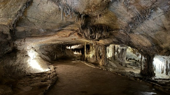
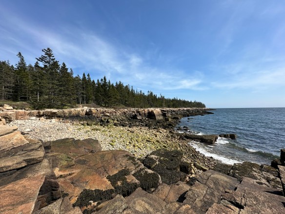
Acadia National Park preserves approximately 50,000 acres in Maine. Ecosystems contained within Acadia include mountains, shorelines, forests, lakes and ponds, steams and watersheds, marshes, swamps, and wetlands. It boasts. more than 1,100 plant species and diverse wildlife from microorganisms and larger animals. It is currently, as of this writing, the 10th most visited national park.
Acadia National Park is usually open 24 hours a day but check the website for specific information regarding operating hours for the visitor’s center. Summer is the busy season but it’s always good to plan in advance because you never know when things might change. Acadia is a huge park and while there are many areas that are accessible to people with disabilities, there are also many areas that are not accessible. The best way to check is to go directly to their accessibility page for specific information.

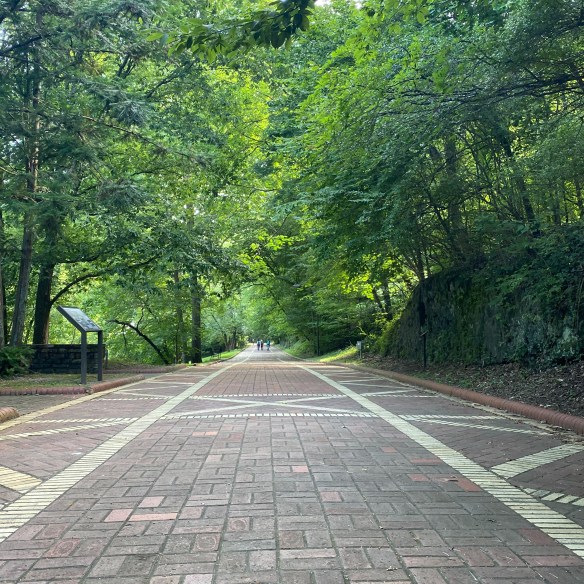
MILE MARKER: Did you know that Acadia National Park was the first national park created entirely from private land donations? Also, Acadia’s famous carriage roads were built by John D. Rockefeller Jr., not for cars, but as a refuge from them. He even designed the roads and bridges to blend naturally into the landscape, using local granite and hand-carved details.
HIKE IT!: There are SO MANY hikes in Acadia, there’s not enough room to list them here. It’s a good thing that Acadia’s NPS website has a whole page that sorts all the hikes for you! Find your favorite hiking trail by location, by environment, by route, or by public transportation. Look here for links that will take you straight to the information you need to hike your hike.