Jo Giese, an award-winning radio journalist and bestselling author of Never Sit If You Can Dance: Lessons from My Mother, has been a special correspondent and was part of a Peabody Award–winning team at Marketplace, the most popular business radio program in America.
Jo has visited more than fifty countries. She is a world traveler, an experienced hiker, and a collector of waterfalls. We’re going to talk about all that and her amazing recovery from an injury that is considered “unrecoverable”. Join us as we speak with Jo about her joie de vivre, her love of hiking, and her amazing spirit which helped her regain her ability to walk, and more importantly, hike again.
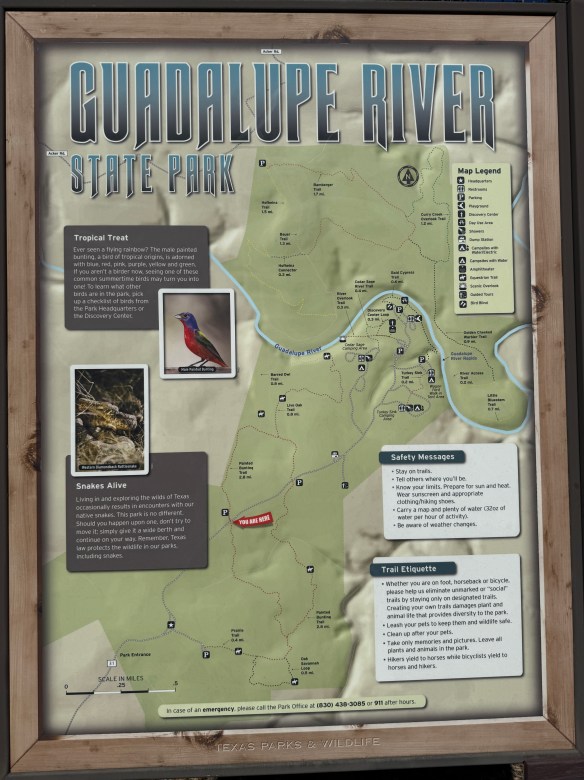
It’s a Hike & Feast!! That’s right, we’re headed for a hike at the Guadalupe River State Park, about 30 minutes northwest of San Antonio off Highway 46, west of 281 North.
This was the very first state park I ever visited when I first started camping. At the time of this first visit, I was a poor, case manager. Bachelor’s degree in hand, first professional job, still making peanuts. My housemate and I were looking for ways to have some fun that didn’t cost a lot of money. We decided to try our hand at camping so we splurged on a tent and somehow, I don’t really remember how, we found this park, made a reservation and spent a lovely weekend sleeping on the hard ground, grilling meats, hanging out at the river, and just generally, enjoying nature.
This isn’t my favorite state park but it does hold a special place in my heart because it was where I discovered camping. I’d been to Rocky Mountain National Park with my college roommate and her family before this camping trip, but they had a pop-up trailer and all I had to do was sit back and let my friend’s dad be in charge. The trip to Guadalupe River State Park was my first time setting up my own campsite, starting a campfire, and all the other camping experiences that came with it, including the midnight trips to the bathroom. But it was all good because that little bit of camping led to backpacking which led to hiking and here we are today! It’s a full circle for me.
Photo by M. Gonzalez
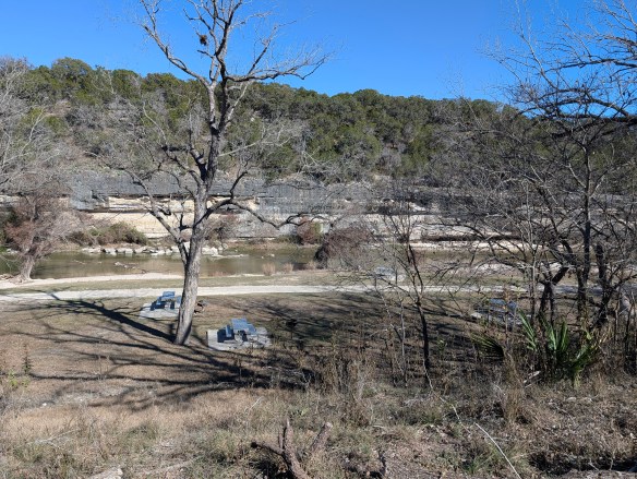
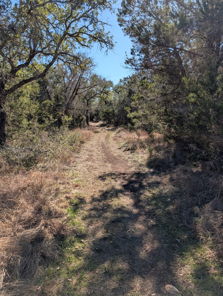
Guadalupe River State Park, as the name implies, sits smack dab on the Guadalupe River. The river here runs quiet and serene. The gentle flow makes it perfect for kids to get in and float down aways on a tube or raft, climb out, and do it all over again. The day use area is right on the river and you’d better believe it gets crowded in the summer. If you’re looking to camp here in the summer (as well as spring and fall if it’s warm enough), it’s going to be busy. It’s not the getaway you might be looking for if you’re looking for silence or quiet nature. But, if you’re looking for a place to hike some quiet, easy, and beautiful trails, you’ve come to the right place. Especially if you’re here in the fall and winter. Spring is also a magical time when the wildflowers are in bloom.
Photo by M. Gonzalez
Photo by M. Gonzalez
Photo by M. Gonzalez
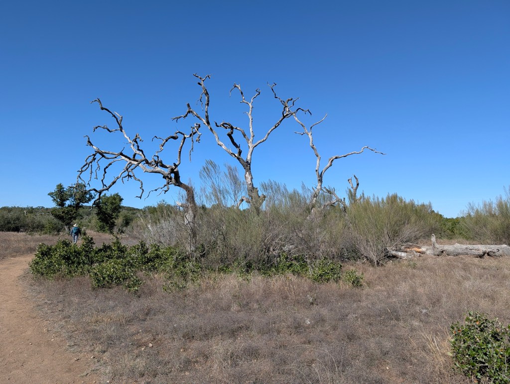
Guadalupe River State Park is part of the area we’ve discussed in some of our other blogs and in our podcasts. Like Pedernales River State Park and our first Hike & Feast at Crownridge Canyon Natural Area, Guadalupe River State Park is an area comprised of limestone canyons that used to be a seabed. Dramatic canyon walls and rocky outcrops were formed when this region was covered by a shallow sea millions of years ago. If you look closely at the limestone layers, sometimes you can find fossiliferous limestone, better defined as fossils of seashells and organisms fossilized right into the limestone. Bonus if you’re a birder! This park sits at the crossroads of Hill Country and riparian ecosystems, making it an important stopover for migratory birds. Fall hikers often don’t realize they’re walking through habitat used by golden-cheeked warblers, painted buntings, and migrating raptors. Susan and I hiked the Painted Bunting Trail, named after the beautiful painted bunting bird (which we did not see while we were hiking, damn it).
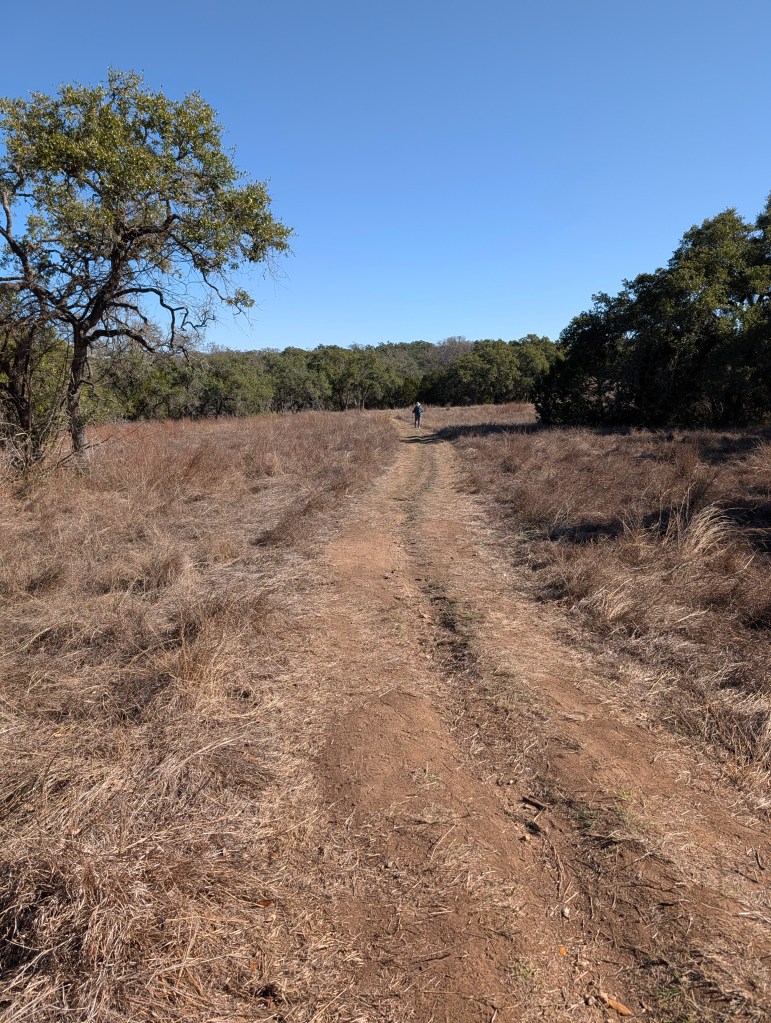
This park has plenty of trails ranging from easy to challenging. Trail lengths range from 0.3 miles all the way to 3.1 miles. There are also river crossings if you’re looking to roll up your pants and get your feet wet. Terrain is varied and there are some trails that are short but steep, so choose wisely.
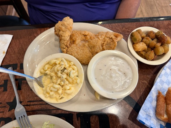
This is a great, little getaway right down the road from San Antonio. And there are plenty of places to feast after you finish up your hike. We made our way a few miles up the road to Spring Branch, Texas where we feasted on chicken fried steak at Antler Cafe. Delicious!
FEAST! Chicken Fried Steak at Antler Cafe in Spring Branch, Texas
MILE MARKER: Guadalupe River State Park protects one of the cleanest stretches of the Guadalupe River. Unlike the more heavily trafficked downstream sections (like New Braunfels), this stretch of the river is spring-fed and less developed, which helps keep the water unusually clear and ecologically healthy. It’s a quiet reason why the park feels so calm compared to other Guadalupe access points.
HIKE IT!: Make sure you check out the park’s website hiking page for links to their trail map but notice that there’s a secret hike on there! That’s right, there’s a secret hike at the connected Honey Creek State Natural Area. Access to this special area is allowed only by tour which is a 2 mile, ranger led tour, that only happens once a week. Click on the link to get to the Honey Creek website and sign up for that special hike there.
We’re here again. We’re in a place settled long, long ago by people who migrated to North America thousands of years ago across the Bering land bridge or by sea. Their ancestral homeland was believed to be around modern-day Siberia/Mongolia, eventually settling across Alaska, northern Canada, and the American Southwest. Their migrations occurred in waves, with later groups moving south and east from an initial Alaskan settlement, adapting to diverse environments from subarctic forests to desert regions. These people are the Athabaskan people. We mentioned them in our episode about Canyon de Chelly.
As these people made their way down to what we now refer to as the Southwestern United States (between 1400 and 1500), the Chiricahua eventually settled in what is now southeastern Arizona, southwestern New Mexico, and northern Mexico in the Sonoran and Chihuahuan Deserts. The Chiricahua people are named after the Chiricahua Mountains in southeast Arizona. The Apache Indians were only one of the bands of Chiricahua Indians that evolved into different clans.
As it was, and still seems to be, the way of the United States to take what belongs to someone else (for more current information, see “Greenland”) the Apache Wars of 1861 culminated, after 24 years, in the creation of a reservation for the Chiricahua people that allowed them to live in relative peace until the death of Cochise, when the reservation was abolished and the people were forced to move to another reservation.
After the Chiricahua people were relocated, settlers and ranchers moved into the area and in the 1930’s, the Civilian Conservation Corp (CCC) came into the region and were responsible for the construction of many of the roads, parking areas, and trails. Many of the trails were built for recreation but some of them were designed specifically to allow access for firefighters.The Sugarloaf Trail, for example, has the dual purpose of providing fire lookout access as well as recreational opportunities. The Natural Bridge Trail was constructed for the sole purpose of firefighter access into Picket Park.
Photo by S. Resendez
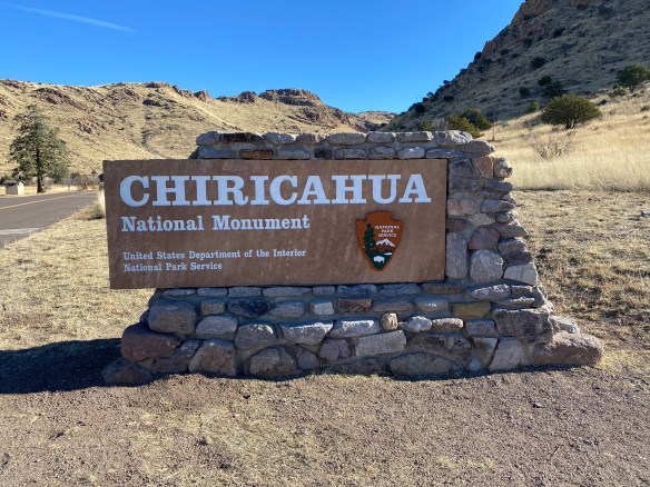
Bonita Canyon Highway offers a beautiful 8 mile drive to Massai Point, the culmination of a road that was constructed by the US Forest Service in 1932. The road is a narrow mountain road with low hanging trees and small parking areas. If you’re hauling a trailer, your trailer must be disconnected to drive up through Bonita Canyon. Chiricahua National Monument is a “Dark Sky” park, so be prepared for some intense stargazing!
Chiricahua National Monument is located at 13063 E Bonita Canyon Rd, Willcox, AZ. The park is open 24 hours a day. Trails stay open for sunrise, sunset, and night sky viewing. Be aware of wildlife and use extreme caution. There is no entrance fee or pass required to enter. The visitor center, on the right 3.5 miles after the entrance, is open from 8:30 am to 4:30 pm. It has an information desk, museum, park film, and gift shop. It provides free maps, junior ranger booklets, and information.
Photo by S. Resendez
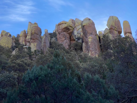
MILE MARKER: Chiricahua National Monument was formed by a single massive volcanic eruption about 27 million years ago. The Turkey Creek volcano released such an enormous ash cloud that the material hardened into rock, creating the towering hoodoos and balanced stones we see today. When you hike here, you’re walking through what was once a volcanic ash blanket—now sculpted into a stone forest by time and erosion.
HIKE IT!: Once again, the National Park’s website offers a great hiking page which breaks the hikes down into easy, moderate, and strenuous hikes. Five easy hikes about a mile or less will take you to some of the most scenic areas in the park! Don’t forget, though, there is elevation in this park so acclimate to the altitude by doing a short hike first!
We’ve got lots of good stuff in store for you in 2026!
More hiking! New trips! New interviews! If there is anything else you might like for us to review or any place you’d like for us to check out this year, leave a comment down below and we’ll do our best to get there.
If you’ve been enjoying our content, do us a favor and consider buying some merchandise from our Zazzle Store or dropping a little coin to buy us a coffee. We would really appreciate it.
Happy hiking. Now get out there and hike your own hike!
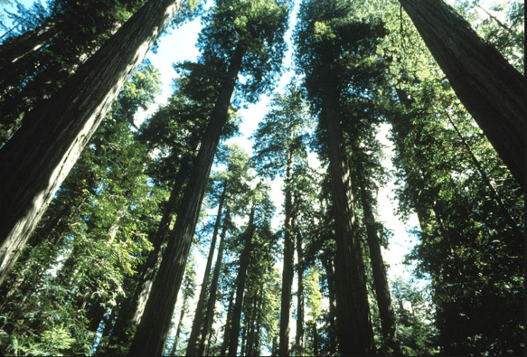
When people think of the Redwood National Forest, the first thing that comes to mind is the trees. Redwood National Forest is home to some of the tallest trees on earth, but the landscapes in and around the forest consist of more than just giant trees. Oak woodlands, rivers, prairies, and coastline make up the surrounding landscape. But we get it; you go for the trees. We all go for the trees…but there’s so much more!
Redwood National and State Parks is unique because the National Park Service (federal) and California State Parks (state) jointly manage the parks. Approximately 55% of the park is under federal management: the federal government, through the National Park Service (NPS), owns and manages a portion of the parkland, which was initially designated as Redwood National Park in 1968. The remaining 45% of the park is managed by the state of California, through California State Parks. California owns and manages the land in three separate state parks that are part of the larger, cooperatively managed unit: Del Norte Coast Redwoods State Park, Jedediah Smith Redwoods State Park, and Prairie Creek Redwoods State Park. In 1994, the NPS and California State Parks formed a cooperative management agreement to manage the parks as a single unit, maximizing resource protection.
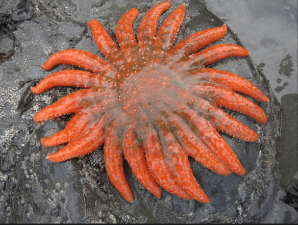
Sea Star on Rock
Photo courtesy of NPS
The abundance of ecological diversity in the Redwood Forest led to it being designated a UNESCO World Heritage Site in 1980. The diverse species of animals range from birds, land mammals, marine mammals, fish, and tide pool creatures such as sea stars and sea anemones. The Redwood Forest is also home to several threatened and endangered species such as the Northern Spotted Owl and the Steller Sea Lion. Redwood National and State Parks work hard to preserve, monitor, and safeguard fish and wildlife habitats to support recovery.
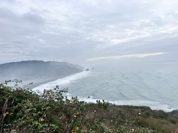
Redwood National Park is a total of 139,000 acres, or about 217 square miles, when combined with the three state parks (Jedediah Smith, Del Norte Coast, and Prairie Creek). Without the state parks, the national park itself is 131,983 acres, or 206 square miles, which includes about 40,000 acres of old-growth forest. The entire park extends for 35-60 miles along the northern California coastline.
Redwood National Forest Coastline
Photo by S. Resendez
The Redwood National and State Park(s) is open year round but the Visitor’s Centers operate on a seasonal schedule. Check the website for information on hours and times. Cell service is limited and while GPS works, it often offers confusing directions. plan ahead by:
Carrying a physical map, especially if venturing into remote areas.
Using official park maps, available at visitor centers and on the park’s website.
Using road signs within the park rather than GPS apps, which may misdirect you.
It’s also a good idea to check conditions before heading out because heavy fog might prevent you from seeing some of the sights you’re planning to visit. Luckily, the NPS site has a page made just to let you know what current conditions are at the park at all times. Check that page right before you head out for alerts, road closures, and trail information.
MILE MARKER: Did you know the redwoods in California’s Redwood National and State Parks are not just the tallest trees on Earth — they’re weather-makers too? These ancient giants capture fog from the Pacific, absorbing moisture through their needles and creating their own microclimate. It’s a self-sustaining forest, where the trees literally drink from the clouds.
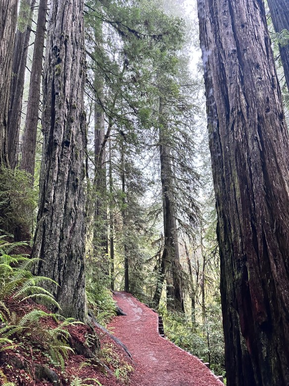
Hiking Trail in the Redwood Forest
Photo by S. Resendez
HIKE IT!: Once again, the National Park Service website for The Redwood National Forest and State Parks has done an excellent job helping you to plan your best hike. Their web page breaks down hikes by time and region. From short walks to all-day hikes, they’ve got you covered. Make sure you check out the current conditions page before you head out, then get your sticks and go!
In the mid-1800’s, California was the place to be. Gold had been discovered. The race was on to get the gold and nothing would stand in the way of the prospectors looking to get rich. As is usually the case, there were some obstacles in the way, namely people.
Bridal Veil Falls
Photo by S. Resendez
The Indigenous people of Yosemite Valley called the valley “Ahwahnee” or “gaping mouth-like place”. The Ahwahnee lived in the area for thousands of years, developing a deep, reciprocal relationship with the land, but were eventually devastated by illness and displaced by settlers and park officials. In the end, the Mariposa Battalion, a Euro-American militia entered the area and drove the native Ahwahneechee people onto reservations,
As more people made their way into California, specifically Yosemite Valley, hotels, inns, and stagecoach companies began catering to the early tourists. In 1864, Yosemite was recognized by the federal government as someplace that should be protected. Abraham Lincoln signed the Yosemite Grant, placing Yosemite under the protection of the state of California.
President Teddy Roosevelt and John Muir standing on rock at Glacier Point, Yosemite, May 1903; Yosemite Falls and cliffs of Yosemite Valley in distance.
Photo courtesy NPS [RL012904]
In 1903, President Theodore Roosevelt visited Yosemite and guided by naturalist John Muir, spent three nights camping in the Mariposa Grove and later, in a snowstorm near Sentinel Dome, then finally in a meadow near the base of Bridalveil Falls. This stay led Roosevelt to expand federal protection of Yosemite, and it inspired him to sign into existence 5 national parks, 18 national monuments, 55 national bird sanctuaries and wildlife refuges, and 150 national forests.
Yosemite National Park is open 24 hours per day, 365 days per year. The Hetch Hetchy area is only open from sunrise to sunset (except for permitted backpackers). There are other park entrances but check the website to see whether or not they are open. All day visitors must exit Hetch Hetchy by sunset. The road is also closed to all vehicles (including backpackers) from sunset to sunrise. Yosemite National Park covers nearly 1,200 square miles (3,100 square km) in the Sierra Nevada, with elevations ranging from about 2,000 feet (600 m) to 13,000 ft. The welcome center is located next to the Yosemite Village Parking and the Village Store in Yosemite Valley. Get help planning your visit and pick up free trail maps, junior ranger booklets, and more at the welcome center. Hours are 9:00 AM–5:00 PM and the Village is open year-round.
El Capitan
Photo by S. Resendez
Things to do are numerous but if you’re visiting during the busy season, you need to make sure you plan ahead. Planning your visit will help to make sure you’re able to see everything you want to see while you’re there.
MILE MARKER: Did you know that some of the Buffalo Soldiers that were stationed at Fort Davis were stationed to park protection duties? After their frontier service, many Buffalo Soldiers were assigned to protect the newly formed national parks, including Yosemite. Between 1891 and 1913, soldiers from the 9th and 24th Cavalry, among others, served as the official administrators and park rangers in Yosemite.
HIKE IT!: There are a million things to do in Yosemite but hiking is the penultimate experience here. In and around Yosemite Valley, there are several day hikes rated easy to moderate that range from 0.5 miles all the way to 13 miles. There are also some shorter, more moderate hikes, that have elevation but if you plan ahead, you can check out the information and get yourself on a trail that suits your abilities. If you’re looking for trails outside of Yosemite Valley, check out Yosemite’s page all about the hiking trails. You’re sure to find something that suits your hiking style.
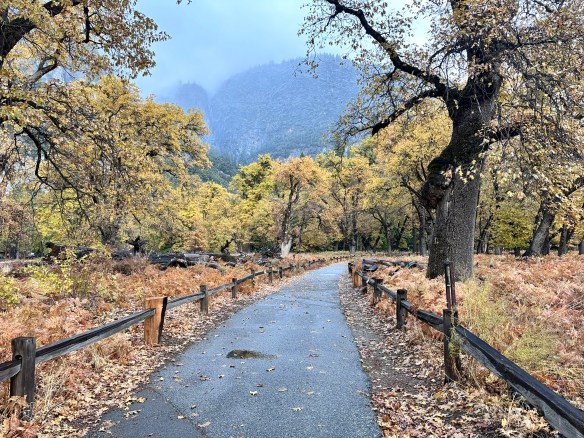
Thanks for joining us at Two Chicks with Hiking Sticks. We’ve been picking up new subscribers on YT so we thought it would be a good time to take a moment to reintroduce ourselves. Our goal with our all of our content, podcast and blog, is to entertain and educate about the outdoors through experiences that will empower us to explore the rich intersections of culture, history, and the natural world.
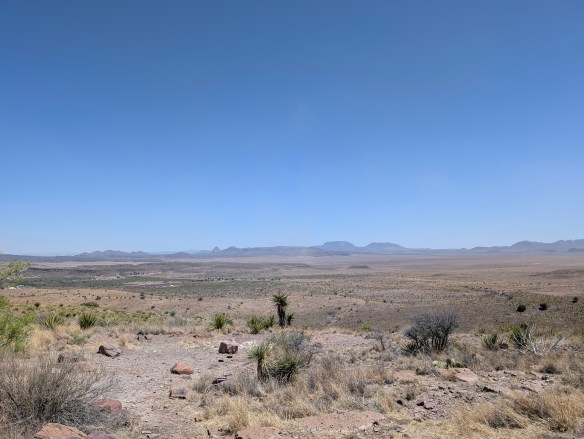
Chihuahuan Desert
Photo by M. Gonzalez
We also think we’re at a good age to encourage other people who have had a long time urge to get into the outdoors and do some hiking but have always felt that perhaps they couldn’t hike long hikes, or maybe they’re recovering from an injury and aren’t sure they’re ready to hike. Or maybe they’re just afraid to get started. If any of those statements sound familiar, you’re in the right place!
We firmly believe that hiking is for everyone! Being outdoors is good for all of us. It’s important to touch grass now and then. To know that if things get too hectic in our daily lives, a walk or hike amongst the greenery can help us all to breathe. Being outside helps bring our blood pressure down. It brings down our stress levels. It helps us to focus. It grounds us.
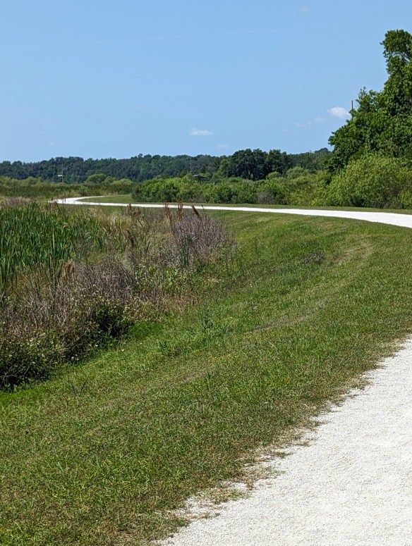
Sweetwater Wetlands Park
Photo by M. Gonzalez
You don’t have to hike miles and miles to gain the benefits of hiking and being outdoors. Research published in 2019 in the Journal of Positive Psychology provides evidence that subjects who spent just five minutes in a natural environment showed significant increases in positive emotions compared to participants who sat in a windowless room.
It’s not only how long a single outing is, but also how often you get out. Shorter, repeated exposures (interval exposure) can bring benefits. Even 10 minute exposures, if repeated over time, show positive effects. And here’s something interesting…these same studies also show that very long durations (hours) don’t always yield proportionally greater benefits, depending on the setting and how strenuous the activity is. This means that short intervals outside can yield the same, if not better, results than long, extended activity!
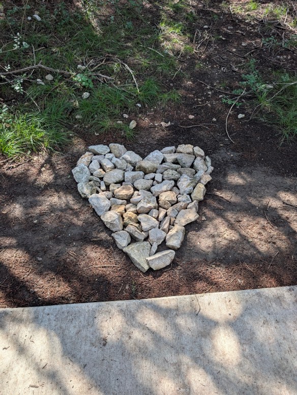
Comanche Lookout Park
Photo by M. Gonzalez
If you go for a hike (or spend time in nature) just once, even 10-15 minutes will likely give you a mental boost: better mood, lower stress.
More frequent shorter outings may be as or more helpful than infrequent long ones.
Hiking regularly (say, one or more hikes/week) is better than one long hike then many days indoors.
We take you to visit city, state, and national parks. We talk about the culture and the history surrounding them, then we talk about the hikes. And, we have some laughs as we do it. So, what are you waiting for? Grab your hiking sticks, join the Two Chicks, and go “Hike Your Own Hike!”
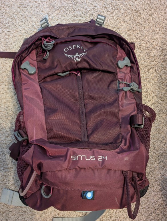
Have you ever wanted to know what other hikers carry in their hiking packs? This is your chance to take a quick peek into the backpacks of the Two Chicks.
We’ll talk a bit about what we carry and why we carry it. We hope you enjoy this podcast and we hope it inspires you to do some hiking!
Don’t forget to check out our Hiking Information page for lots of downloadable checklists you can use for your next hike. Also, what’s in your pack? Drop a quick comment down below and tell us what you carry and what’s the one thing you won’t leave behind when YOU go hiking.
Join us this week for a quick look at different types of bags you can use for different hiking situations. And while you’re planning your hike, don’t forget to visit our Hiking Information page for our FREE downloadable hiking checklists!
We’re not going to recommend any particular style or brand, we just want you to know about some of the options available to you as you consider your next hike. How long will you be hiking? Will the weather be hot or rainy? Will you be hiking into a particular destination or are you just planning to meander? Will you be in the middle of nowhere or will you be close to places where you can purchase extra water or snacks?
Once you consider all these things, then consider what king of bag you may need to hold all your gear. Do you just need something for your water, your snack bar, and your chapstick? Do you need to pack a rain jacket, a puffy jacket, food, and water? Do you just need water and a small first aid kit? This episode will help you choose the right bag for the right hike.
**QUICK UPDATE for all who were asking. If you’re looking for a t-shirt, you pick the design then Zazzle allows you to choose your t-shirt style, quality, size, and fit. So you basically pick the fit, size, and material quality. If you have any other questions, there is a way to leave messages on Zazzle or you can always drop a comment here. Thanks!**
We really appreciate your support over these last few months. We’ve had comments from several of you asking about merchandise and we heard you!
The Two Chicks with Hiking Sticks storefront is now open and we’d love it if you would consider supporting our endeavor to inform and educate about our cultural, historical, and natural world by buying a t-shirt or sticker or pin to help spread the word.
If you see something you like on the storefront but would like it more personalized, send a direct message and we’ll do our best to accommodate your request! Thank you!