Imagine…you’re minding your own business, wandering around by the Bosque River, searching for fossils and arrowheads, when you come upon something sticking out of the ground and it looks like…a bone?!
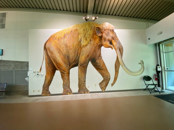
This is what happened back in 1978 to Paul Barron and Eddie Bufkin. Lucky for us that these two guys had a pretty good idea of what they had found and had the presence of mind to excavate it and take it over to Baylor University’s Strecker Museum for further examination. Museum staff identified the object as a femur bone from a Columbian Mammoth and quickly went about organizing a team to begin excavating. Between 1978 and 1990, the dig unearthed the remains of 16 Columbian mammoths. They also found what appeared to be a nursery herd that may have died together in a single natural event. Between 1990 and 1997, six additional mammoths were excavated as well as the remains of a Western camel, an alligator, a dwarf antelope, and a giant tortoise, among other animals.
There is conjecture on how these animals died and even though it remains a mystery, there are theories that allude to several successive floods which may have trapped and eventually drowned the animals in rapidly rising flood waters.
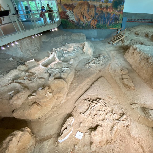
In 2015, President Barack Obama signed the executive order that established Waco Mammoth National Monument, making it a part of the National Park System. The public is welcome anytime during regular operating hours, 9:00 am to 5:00 pm Central Time. Start your visit at the Welcome Center located at 6220 Steinbeck Bend Drive. Guided tours are conducted every 30 minutes, so just show up and join the fun, no reservation needed! Tours last from 45 minutes to one hour. A small tour fee applies. Tour guides will lead you from the Welcome Center, down a 300 yard paved path to the Dig Shelter where mammoth fossils are in situ (still in their original position within the bone bed). During your tour, you will learn about the Ice Age, how the fossils were discovered, and why this site is one of the most important paleontological finds in North America,”
MILE MARKER: Waco Mammoth National Monument marks the largest known concentration of Columbian mammoths that died in a single event. When paleontologists first started excavating the site in Waco, they noticed something strange: many of the mammoth skeletons were facing the same direction. That detail helped scientists piece together what probably happened thousands of years ago. During a sudden Ice Age flood, the herd likely tried to move together against the rushing water, just as modern elephants protect their young during danger. The current pushed them downstream into soft sediment, where they became trapped in deep mud. In other words, the way the bones are positioned appears to have captured the final moments of the herd trying to escape the flood together.
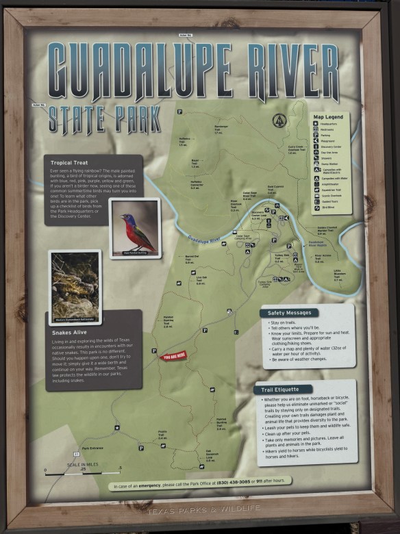
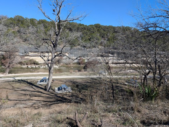
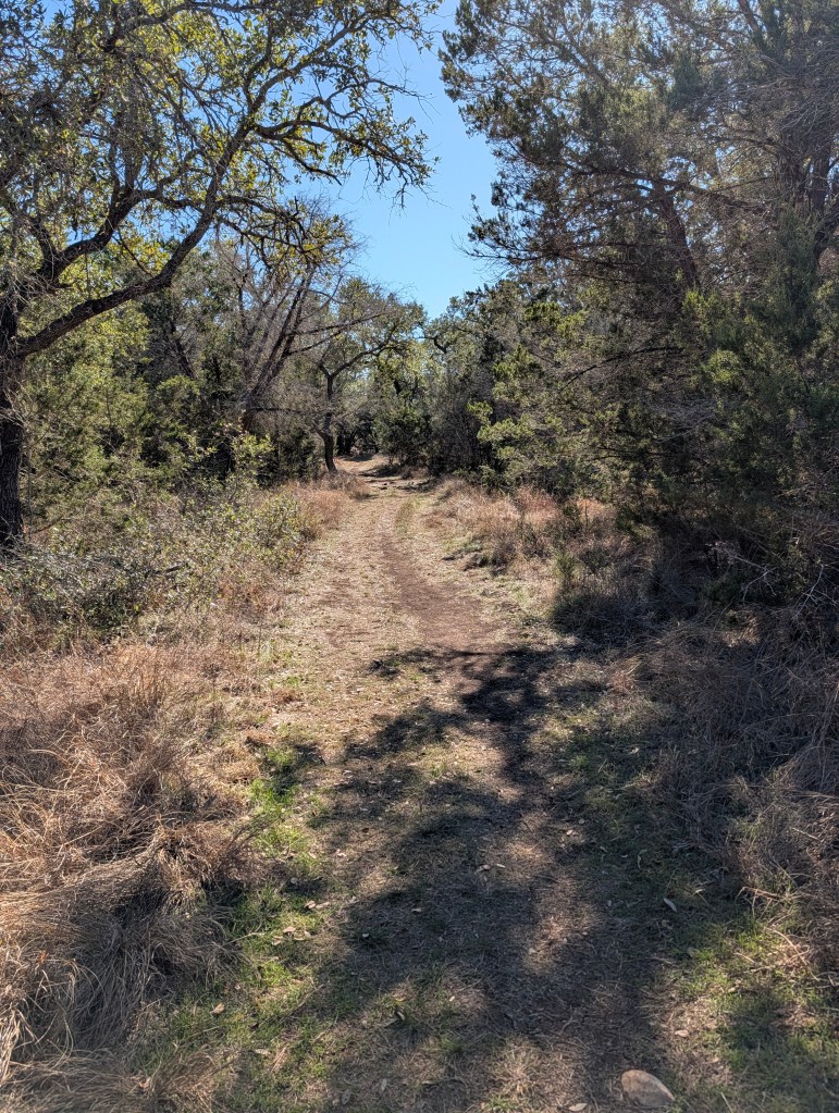
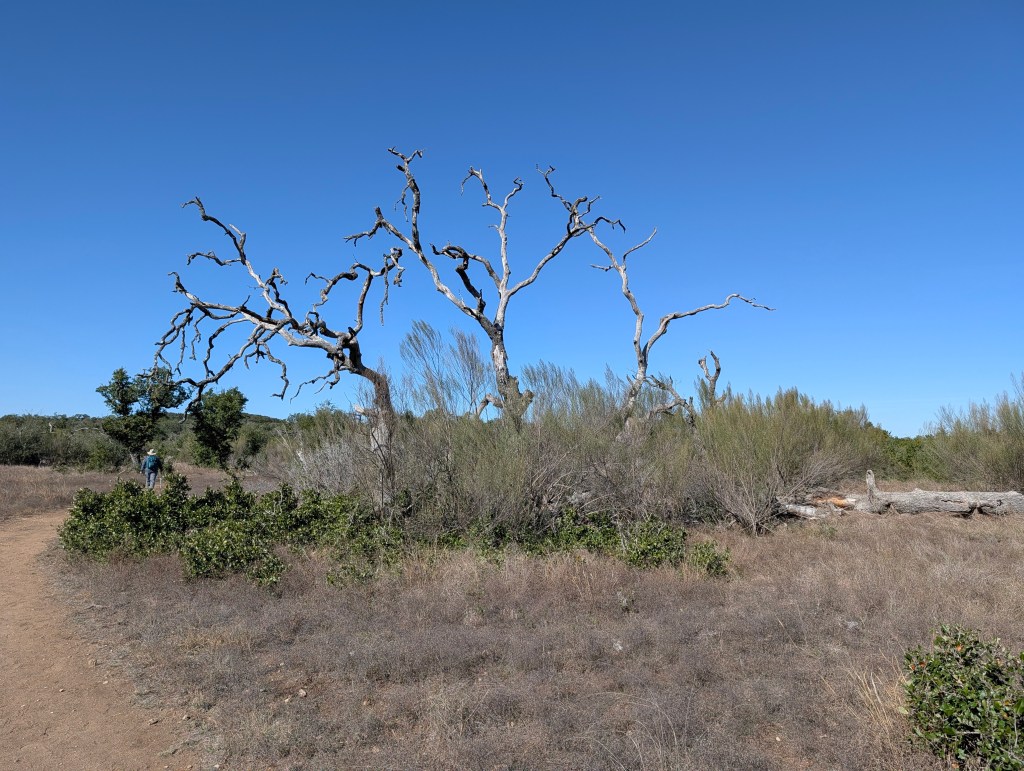
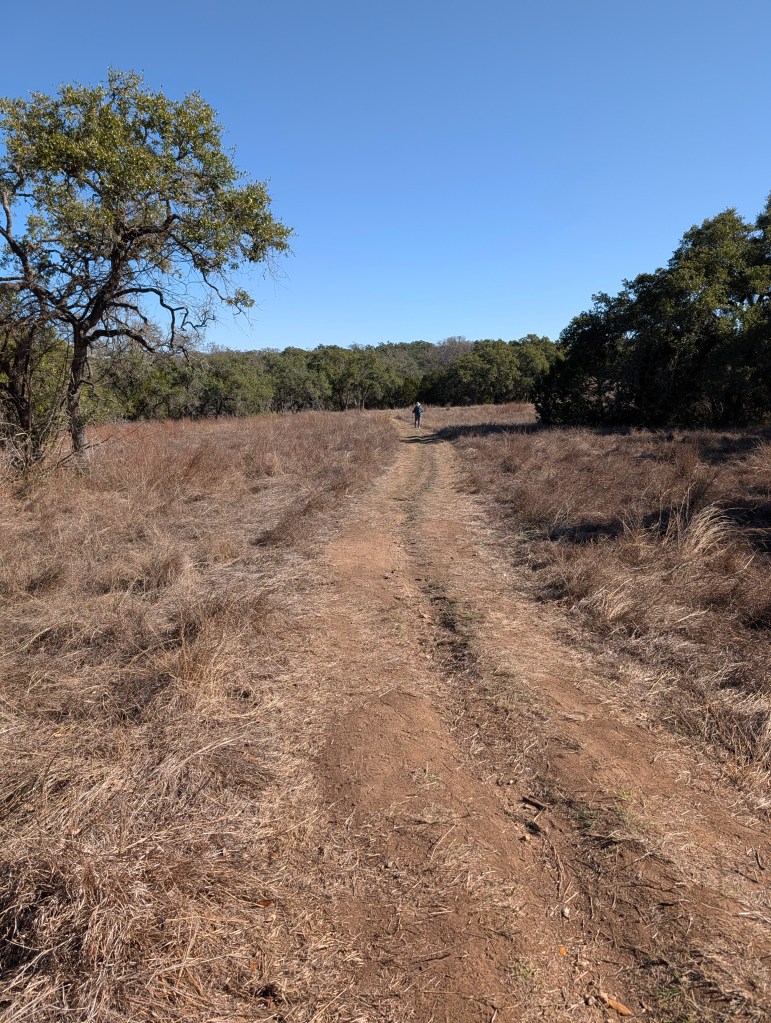
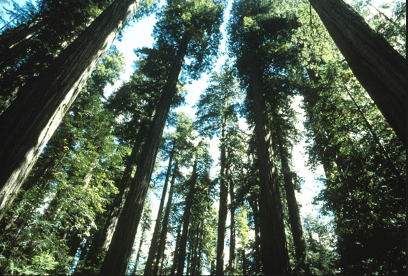
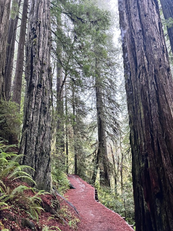
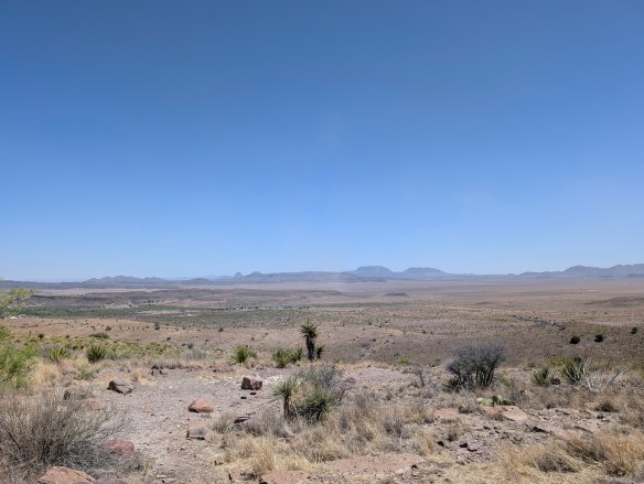
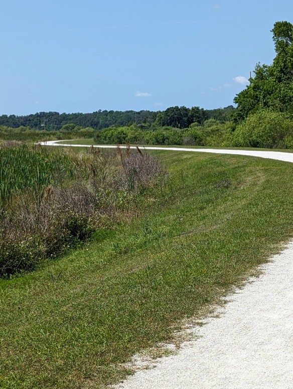
HIKE IT!: While there aren’t many long trails at this site, there are some short hiking trails around the actual dig site. If you combine all the shorter trails into one, you would probably get a one mile trail so you can get some steps in and appreciate the area surrounding the dig site. If you go in the summer, make sure you still prepare for warm weather hiking! At a minimum, at least make sure to take some water and sunscreen. For more details about the hikes, check out this link. If you have time after your visit and you’re interested in doing some more hiking, take the short drive down N. MLK, Jr. Drive to Cameron Park. There are a myriad of hiking trails in this park, including one called Jacob’s Ladder which consists of 88 steep, concrete steps. It is located within a wooded area, and climbs approximately 50 to 80 feet in elevation.